Maps
For those who know me well you may be surprised that this is not a post about Wardley Maps. It’s about regular maps to find where you’re going, and the various mapping apps now available.
Background
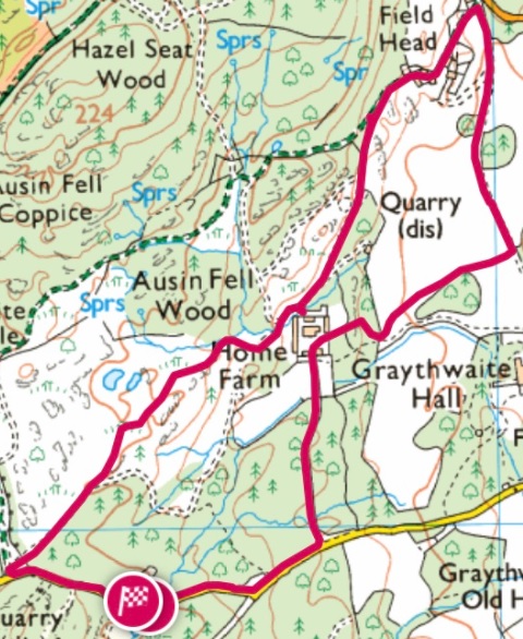
I spent last week in the Lake District, my first time back there in over a decade, after it was once a regular family holiday spot. From previous visits I had an almost complete set of Ordnance Survey (OS) Explorer Maps for the Lakes with OL4, OL5 & OL7. I’d also tried digital mapping products in the past, but the quality, reliability and safety have improved dramatically since 2010.
MapOut
In a thread about “must-have” apps a friend had RT’d this from Neela Jacques:
My favorite app will only cost you a couple bucks…MapOut…downloadable USGS quad-like resolution with openstreetmap overlays… so awesome.
I had no hesitation in buying MapOut for £4.99 and downloaded the area around my home, and also the maps covering the Lakes. It quickly became clear that I wouldn’t have got lost in Bedelands Nature Reserve the previous day if I’d had MapOut in my pocket.
OS Maps
After spending a bit of time exploring MapOut I found that the maps of the Lakes were sometimes missing details[1] from the OS maps. So I took a look at their latest app, and it’s really good.
When you have data, it seems to be possible to get maps at all levels of detail, free, which is great.
Offline maps need to be bought, and there are broadly two ways to do this:
- Recent paper OS maps come with a digital code, which once redeemed allows the area covered by that map to be downloaded at the scale offered by that map. I’ve since bought OL6 to complete my Lakes set, and the three Explorer maps that cover the area around my home.
- A subscription, which then allows a given area to be saved offline.
There was a two week free trial for the subscription, so I gave it a try, and I was sufficiently impressed that I’ll buy subscriptions again when I need offline maps in places where I’m not going to buy the paper map.
With these maps available on my iPad I could plan trips, and then once out and about check on progress with my iPhone. Battery consumption when using GPS isn’t the tragedy that it used to be, so I felt safe knowing that I could check the map in my pocket without risking a flat battery (and the potential safety issues that runs into)[2].
Import/Export
Both apps support GPX files, and also offer a variety of routes from other sources.
I wish the Apple Fitness app allowed export of such files, but thankfully the Apple Health app can do that (How to export GPX tracks from the Apple Watch).
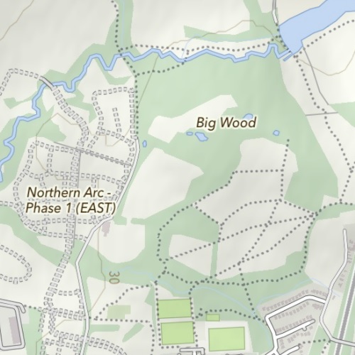
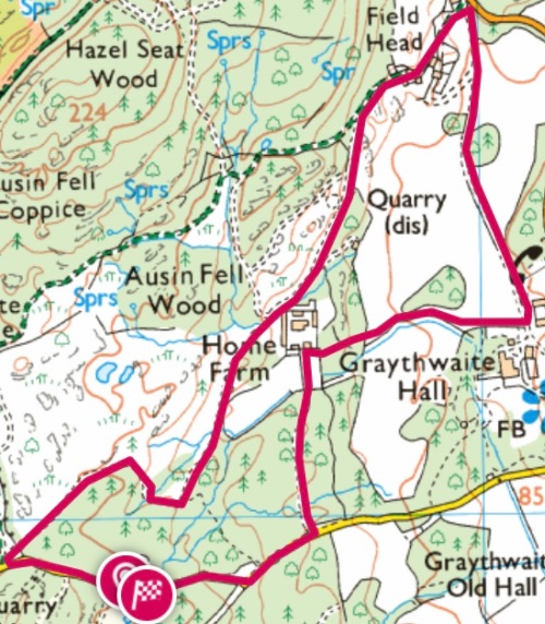
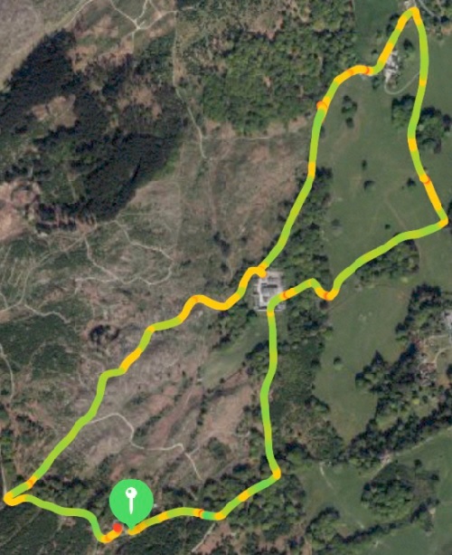
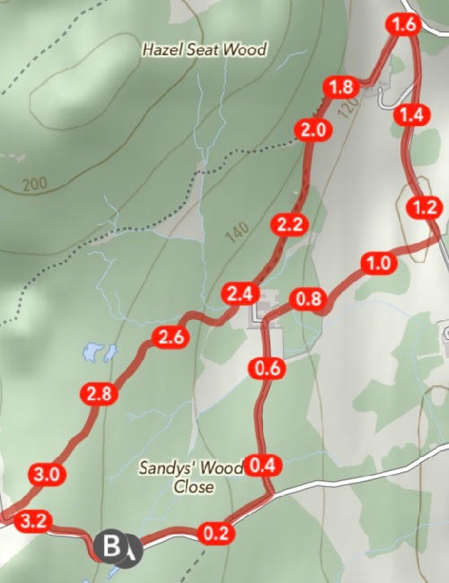
So I can take a track like this:
and drop it into MapOut:
Or OS Maps
Conclusion
The OS Maps app is great, and definitely my favourite. But it only covers the UK, so I expect I’ll get plenty of use from MapOut too.
Notes
[1] Though when out and about I might argue that the real world was sometimes missing details illustrated on OS maps :0 There was one particular path I tried to follow one day that was very clear on the map, and very much absent from reality.
[2] For longer, more adventurous walks I’d still take a paper map and compass, though I’d also take a battery pack to recharge my phone if needed, because the map app is so much more convenient than folded paper.
Filed under: review, travel | 11 Comments
Tags: apple, fitness, gpx, map, MapOut, maps, os
Subscribe
Recent Comments
Tim Coote on Ross Anderson RIP iain on Skiing in Espace Killy (Val… Chris Swan on Getting more from a British Ga… Murray Cowell on Getting more from a British Ga… JL on AI MacGuffin  Pinboard.in bookmarks
- [no title]
- Inside the Super Nintendo cartridges
- "Randar" is an exploit for Minecraft which uses LLL lattice reduction to crack the internal state of an incorrectly reused java.util.Random
- "DO NOT BUY HISENSE TV'S LOL (Or at least keep them offline)"
- Zombie: Middleboxes that Don’t Snoop
- Thousands protest against Canary islands’ ‘unsustainable’ tourism model
- Commission proposes youth mobility between EU and UK
- DEA fuels moral panic over ADHD meds to justify its failed drug war
- Meta.ai Oh My!
- Looking for AI use-cases — Benedict Evans


Not sure if you care, but with a subscription you can access the web site with is awesome for plotting routes. You can plot a route, then access in the mobile client for tracking, download the GPX or just print it out. I save all the routes I use with scouts.
I’ll try to take a close look at the web features next time I have an active subscription. My trial expired yesterday, and I now see that my custom offline maps are inaccessible.
I tend to use Outdoors GPS when out walking – I also have the OS Maps app, but it has a habit of telling me that i don’t have access to an offline map when I have no data signal. Which, of course, defeats the object of having a map offline. The 3D maps on the OS Maps site are fabulous.
I suspect too much effort on trying to check subscription status, and not enough on ensuring accessibility, which isn’t a good look for something that’s potentially safety critical. I guess it’s a good reason to have some redundancy with MapOut.
and also, the further redundancy in a paper/plastic map and compass.
I guess my rule of thumb is that if I’m taking my rucksack, then it’s a serious walk, and I’m putting the paper map and compass into the front pocket. If I’m not taking my rucksack, then it’s just a casual stroll, and I probably don’t need the backup. Similar rules may also apply to boot choice, though that’s going to be a whole other post.
I have similar rules.
I use outdooractive ( https://www.outdooractive.com/en/ ) this has maps outside the UK as well as UK OS 1:25000 as part of its ‘pro’ subscription
I found OS Maps just wasn’t getting enhanced so moved my subscription away a couple of years back…
PRO level :
Topo maps and special activity network: IGN, swisstopo, Ordnance Survey and others, plus trail networks for hiking and mountaineering, cycling, mountain biking, winter sports and equestrian activities
Thanks. That looks worthy of at least another free trial.
I’ve played with various mobile map and GIS tools since about 2000, going back to MemoryMap on Windows Mobile. That was king of the hill for OS maps (for licensing reasons, not functionality) until OS released their own app. These days I use Alpinequest on Android: the interface isn’t great but it’s very powerful. I can add raster maps of different formats (QCT, GeoTIFF, cached stuff from USGS, Google, OSM, Bing, etc) and stack them on top of each other with different transparency settings. My tracks are logged with both GPS and barometer readings for more accurate heights, and I can export them in a variety of formats including GPX.
I have been using a mix of the OS app and the paper maps. I am fining the inconsistency between the paper and app at 1:25000 frustrating. I have used GuruMaps for many years. The pro version was £4.50 but now seems to be more like £45.00 which means that I am looking for an alternative wife my wife’s phone.
As an aside a comment from a friend was the lack of a zoom function on paper maps. But we still prefer to walk from the paper map as you can more easily see the bigger picture.